Skip to content
Render tools
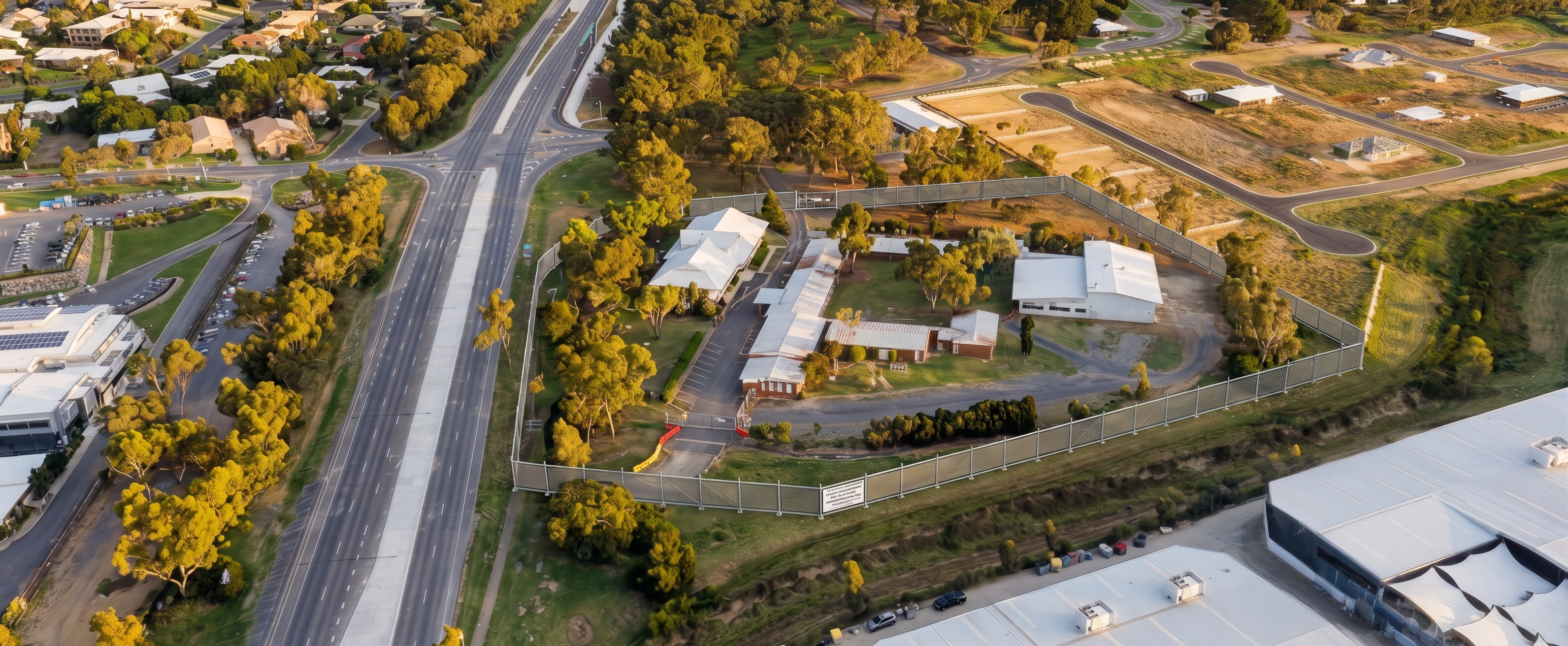
Use the supplied Google Earth aerial image as the primary source image and base geometry. This is not a conceptual redesign.

Do not alter, redesign, replace, move or modernise any buildings, roads, vegetation, terrain, neighbouring properties, parking areas, existing site features or surrounding context.

All existing buildings currently visible within the site boundary must remain exactly as shown.

Maintain the existing Google Earth camera position, perspective, elevation, orientation, scale, shadows and site geometry.

Retain the Google Earth 3D aerial appearance and realistic aerial photography style.

This image is to represent the Site Establishment phase only.

Scope of Changes Permitted

The only modifications permitted are:

Addition of temporary construction fencing around the site boundary.
Addition of a controlled construction access gate.
Addition of minimal site establishment signage.
Addition of temporary safety barriers where required at site entry.
Scope of Changes Not Permitted

Do not:

Add new buildings.
Add proposed buildings.
Add cranes.
Add earthworks.
Add excavation.
Remove existing buildings.
Alter existing roofs.
Alter landscaping.
Alter vegetation.
Alter roads.
Alter neighbouring properties.
Add construction compounds.
Add site offices.
Add delivery vehicles.
Add stockpiles.
Add machinery.
Add annotations.
Add infographics.
Add graphics or callouts.
Change colours or materials.
Change terrain levels.
Visual Outcome

Create a highly realistic Google Earth style aerial image showing the existing site exactly as currently viewed, with only temporary construction fencing and controlled site access added to indicate commencement of works.

The final output should appear as if the fencing has been physically installed and photographed from the same aerial position.

The viewer should immediately recognise the original site with no noticeable alterations apart from construction fencing and site security measures.

Additional Prompt (Very Important)

I'd also add this at the end:

Image editing task, not image generation task. Preserve 100% of existing geometry and context. The success criteria is that the image appears unchanged except for the addition of site establishment fencing and access controls.

"Change nothing except fencing."

That's exactly how I'd set it up in a tender methodology sequence because it gives you a clean visual starting point and makes the progression through later stages much clearer.

Create renders like this

Turn any photo, sketch, or floor plan into a photoreal render in seconds.