- Prompt
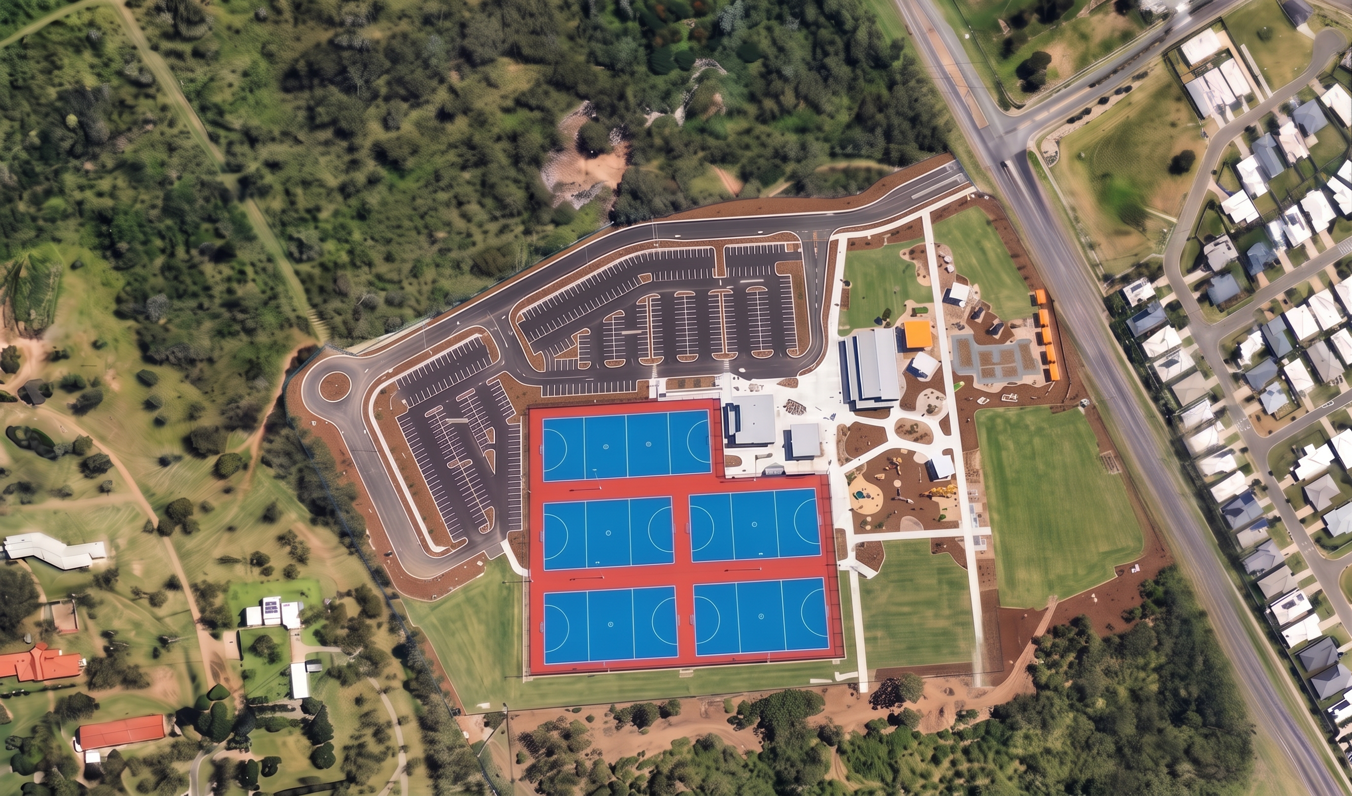
- Convert this image into a highly realistic professional drone photograph. Remove all tilt-shift, depth-of-field, miniature model, soft focus and artificial blur effects. Maintain the exact site layout, buildings, roads, courts, landscaping, surrounding vegetation, residential areas and camera position. Keep the same bird's-eye aerial perspective and composition. Render as a real-world drone photograph captured with a professional full-frame camera and high-quality aerial lens. Ensure sharp focus and consistent detail across the entire image from edge to edge, including foreground and background vegetation, roads, houses and open space areas. Increase realism in tree canopies, grass textures, pavement markings, buildings, roofs, vehicles, shadows and earthworks. Use natural Queensland daylight with realistic colour grading, crisp edges, accurate scale and true photographic detail. Eliminate artificial smoothing, painterly textures, AI-generated blur and excessive contrast. The image should appear indistinguishable from a high-resolution drone survey photograph captured by a professional aerial photographer. Keywords: photorealistic drone photography, full-frame aerial camera, no depth of field, no tilt-shift effect, edge-to-edge sharpness, ultra-high detail, true aerial survey quality, realistic vegetation, realistic shadows, natural colours, 8K resolution, architectural visualization, professional drone imagery. No blur, no tilt-shift, no miniature effect, no soft focus, no painterly textures, no AI smoothing, no cartoon appearance, no dreamlike effect, no haze, no bokeh, no lens blur, no selective focus.
- Created
- July 29, 2026