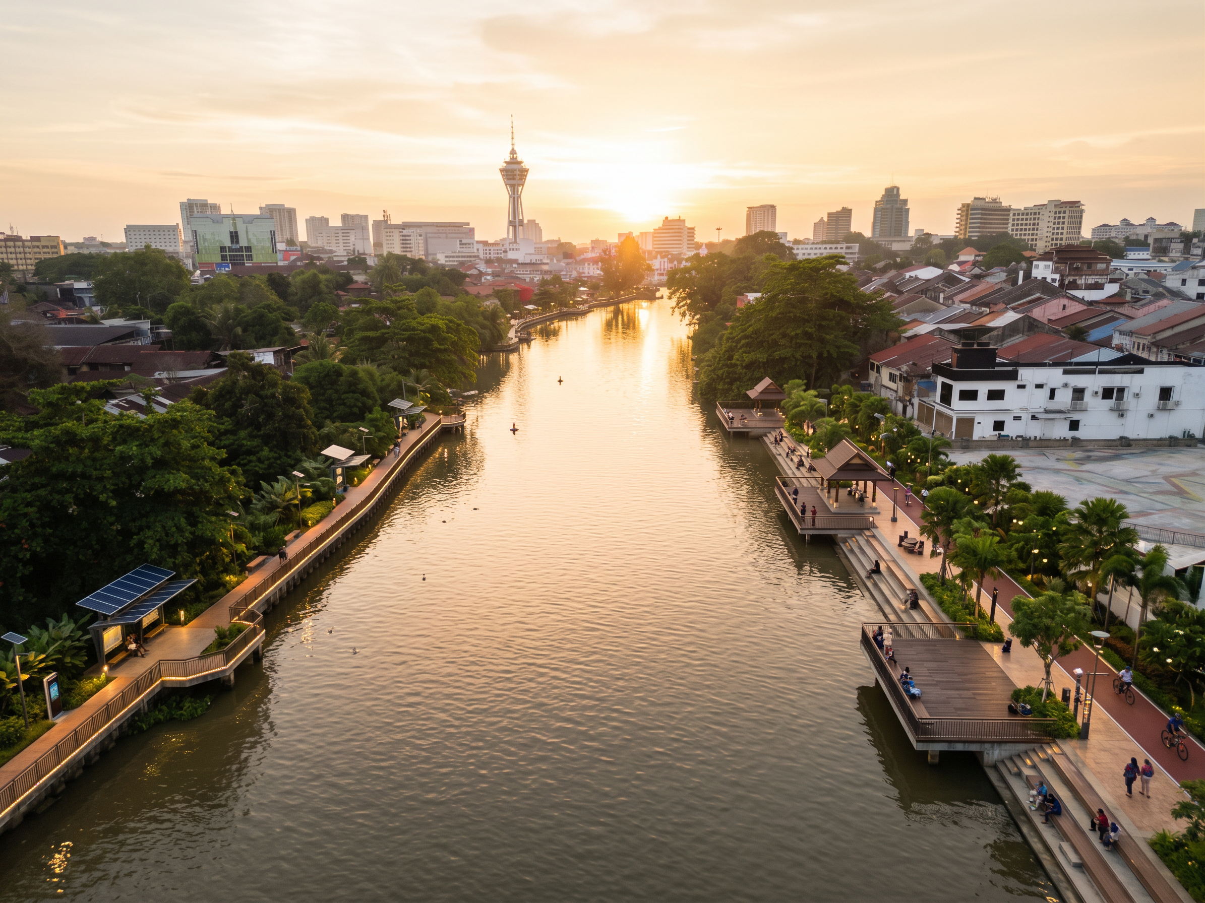
- Prompt
- Transform the uploaded photograph of Tanjung Chali, Kedah, Malaysia, into a realistic urban riverfront redevelopment concept illustration. Preserve the original river geometry, river width, both riverbanks, existing buildings, rooftops, vegetation, skyline, camera angle and surrounding urban context as accurately as possible.
Design continuous pedestrian promenades along BOTH riverbanks, with landscaped walking paths, dedicated cycling lanes where space permits, timber viewing decks, stepped seating, shaded pavilions, tropical trees, native planting and warm integrated LED lighting.
Incorporate smart city features including solar-powered smart shelters, energy-efficient smart streetlights, digital information kiosks, CCTV, environmental water-quality sensors and accessible public facilities.
Create a high-quality architectural visualization suitable for a professional urban planning development proposal. Photorealistic materials, realistic proportions, tropical Malaysian urban environment, blue-hour lighting, high detail, wide-angle aerial perspective.
IMPORTANT: Keep the right riverbank and its existing buildings faithful to the original photograph. Do not replace the existing neighbourhood with new high-rise buildings. Apply the proposed design only to appropriate riverfront spaces. Concept illustration, not a construction plan.
- Created
- October 14, 2026