Skip to content
Render tools
Image Enhancement / Material Upgrade Only

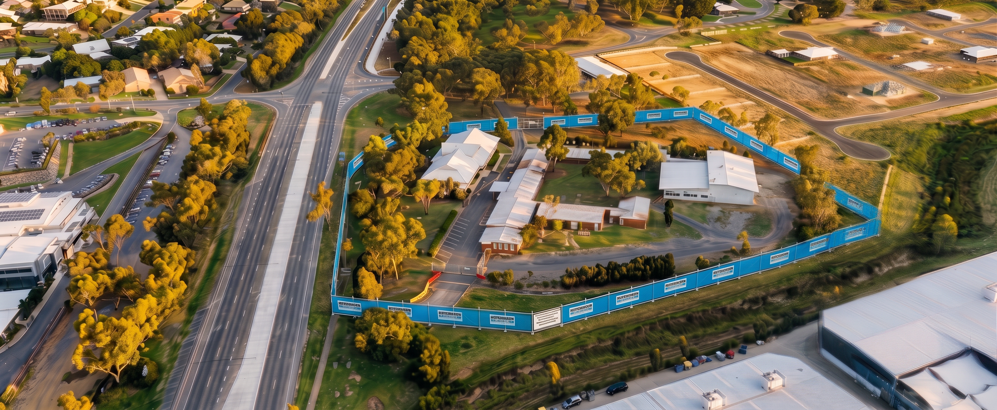
Use the supplied Site Establishment image as the primary and only geometry reference.

The objective is to improve realism, texture quality and image sharpness while preserving the exact original aerial viewpoint.

Critical Requirement:

The camera position must remain identical to the source image.

Do not:

Rotate the camera
Move the camera
Zoom the camera
Change focal length
Change elevation
Change field of view
Change perspective
Change composition
Crop the image
Reframe the site

The final image must align perfectly when overlaid on the source image.

Reference Hierarchy

Source aerial image = 100% authority for:

Camera position
Camera angle
Perspective
Geometry
Site layout
Building locations
Tree locations
Roads
Fencing
Topography

Nearmap reference = texture and realism reference only

Use the Nearmap image solely for:

Roof textures
Ground textures
Vegetation textures
Asphalt detail
Shadow clarity
Overall realism
Permitted Changes

Improve:

Resolution
Sharpness
Texture quality
Material definition
Vegetation detail
Surface realism
Prohibited Changes

Do not:

Change any building footprint
Change any roof shape
Alter tree locations
Alter road alignments
Alter fencing alignment
Alter terrain
Add new objects
Remove existing objects
Move any object
Viewpoint Protection

Treat this as a photographic enhancement task rather than a rendering task.

Preserve the exact same oblique aerial view shown in the source image.

The left-hand road corridor, existing buildings, drainage channel and industrial buildings must occupy precisely the same location within the frame.

The final result should appear as though the original image was captured with a much higher-quality aerial camera, not as though the site has been re-rendered from a new viewpoint.

Success Criteria: The enhanced image can be placed directly over the source image with no noticeable change in camera position, viewing angle, scale or composition.

Create renders like this

Turn any photo, sketch, or floor plan into a photoreal render in seconds.