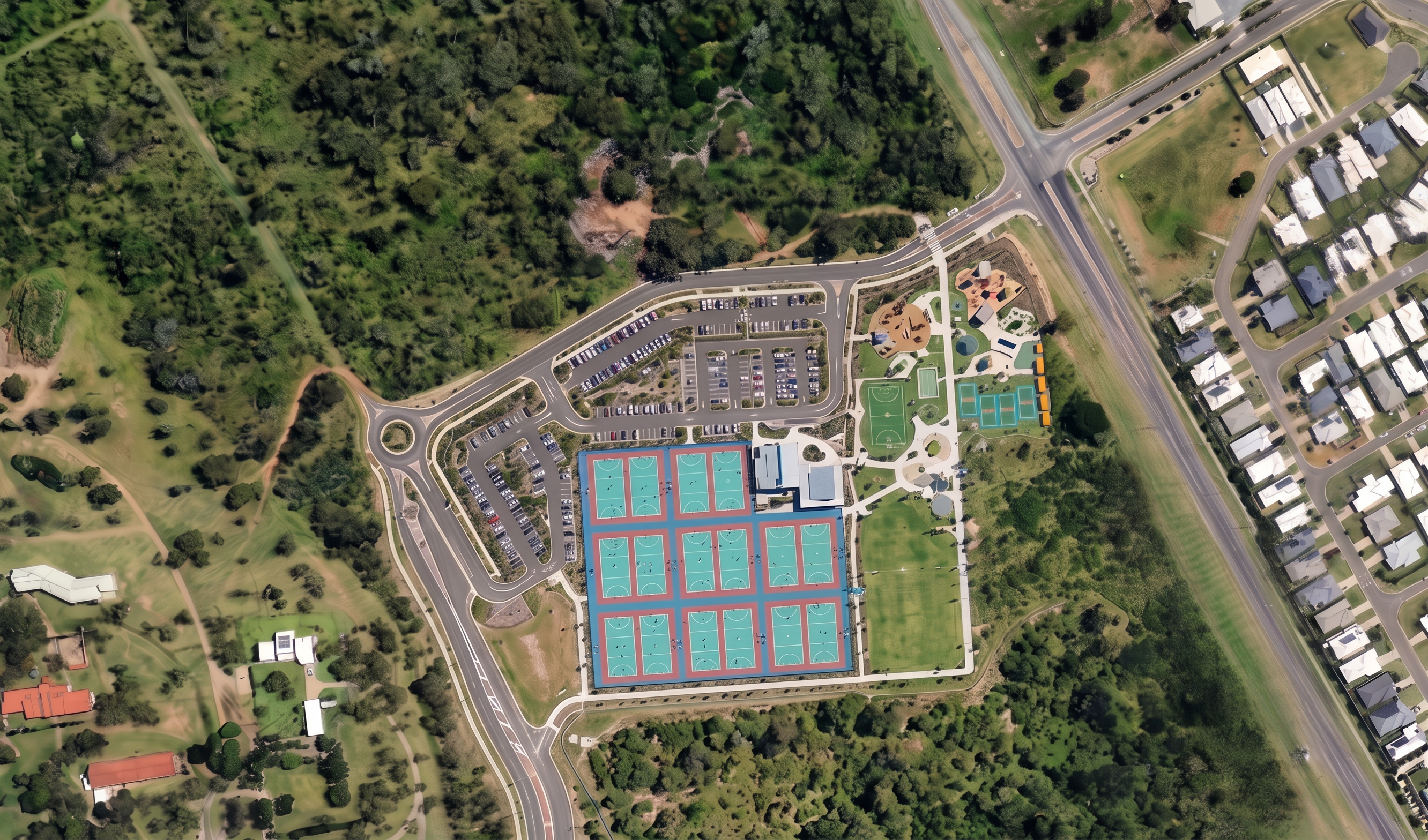
- Prompt
- CRITICAL: Preserve the image exactly as submitted. Do not change the camera position, netball courts, buildings, parking, roads, earthworks, levels, site layout, colours, textures, scale, vegetation, or any other element of the image. The only modification is to remove the elongated lake/waterbody located directly south of the netball courts and earthworks area. Replace the entire waterbody with existing natural vegetation consistent with the surrounding landscape visible elsewhere in the aerial image. The replacement area should appear as a continuation of the adjacent bushland and open vegetated corridor, including: Native grasses and groundcover. Dense shrubs and low vegetation. Scattered mature trees matching the species, colour and density of nearby vegetation. Natural irregular vegetation patterns rather than landscaped planting. No standing water visible. No pond, detention basin, wetland, lake, drainage channel or excavated depression visible. The revegetated area should blend seamlessly with the existing vegetation to the west and south so it appears the lake never existed in the original landscape. Do not alter any part of the netball complex, amenities buildings, car parks, roads, footpaths, retained trees, earthworks batters, construction areas, neighbouring properties, golf course, or surrounding vegetation outside the former lake footprint. Photorealistic orthographic aerial survey style, high-resolution drone imagery, seamless integration with existing site conditions. The revegetated area must visually match the surrounding pre-existing vegetation and appear as untouched natural bushland rather than newly landscaped works.
- Created
- July 29, 2026