- Prompt
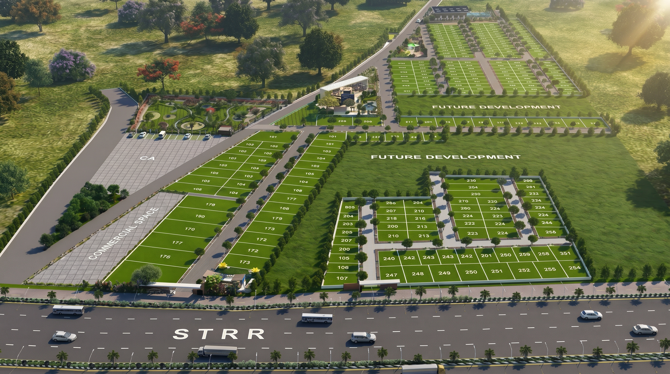
- { "prompt": "Transform the uploaded plotted development masterplan into an ultra realistic luxury township aerial visualization while preserving the EXACT layout, plot placement, road network, clubhouse position, park locations, future development zones, commercial area, entrance location and overall geometry. Do not change, move or redesign any planning element. Reduce overall tree density by 40% and prioritize masterplan clarity. Enhance roads with premium asphalt texture, realistic lane markings, curbstones, landscaped edges, street lighting and realistic shadows. Upgrade the clubhouse into a luxury resort-style destination featuring contemporary architecture, elegant swimming pool, lounge decks, water features, premium landscaping and hospitality-inspired design. Create a grand iconic entrance gateway with natural stone, modern architecture, water features and luxury arrival experience. Replace excessive vegetation with curated green meadows, manicured lawns, flowering trees, landscape buffers and premium open spaces. Future development areas should appear as beautifully maintained green land banks ready for growth. Maintain clear visibility of all plots and roads. Create the appearance of a completed luxury plotted community captured from a professional drone. Inspired by Embassy Springs, Brigade Orchards, Prestige Gardenia Estates, Total Environment and luxury township developments. Ultra realistic materials, cinematic depth, realistic vegetation, architectural visualization quality, premium color grading, luxury brochure hero image, golden hour sunlight, volumetric lighting, atmospheric depth, 8K ultra realism.", "negative_prompt": "dense forest, jungle appearance, excessive trees, cluttered landscaping, hidden plots, blurred roads, technical CAD drawing, schematic masterplan, flat rendering, cartoon vegetation, low detail roads, apartment towers, villas on plots, distorted layout, unrealistic shadows, low resolution, excessive vegetation blocking visibility", "aspect_ratio": "16:9", "style": "luxury township aerial visualization", "quality": "ultra", "lighting": "cinematic golden hour", "camera": "professional aerial drone photography", "render_quality": "8K", "mood": "premium, luxurious, investment-grade, nature-rich, future-ready" }
- Created
- June 19, 2026