Skip to content
Render tools
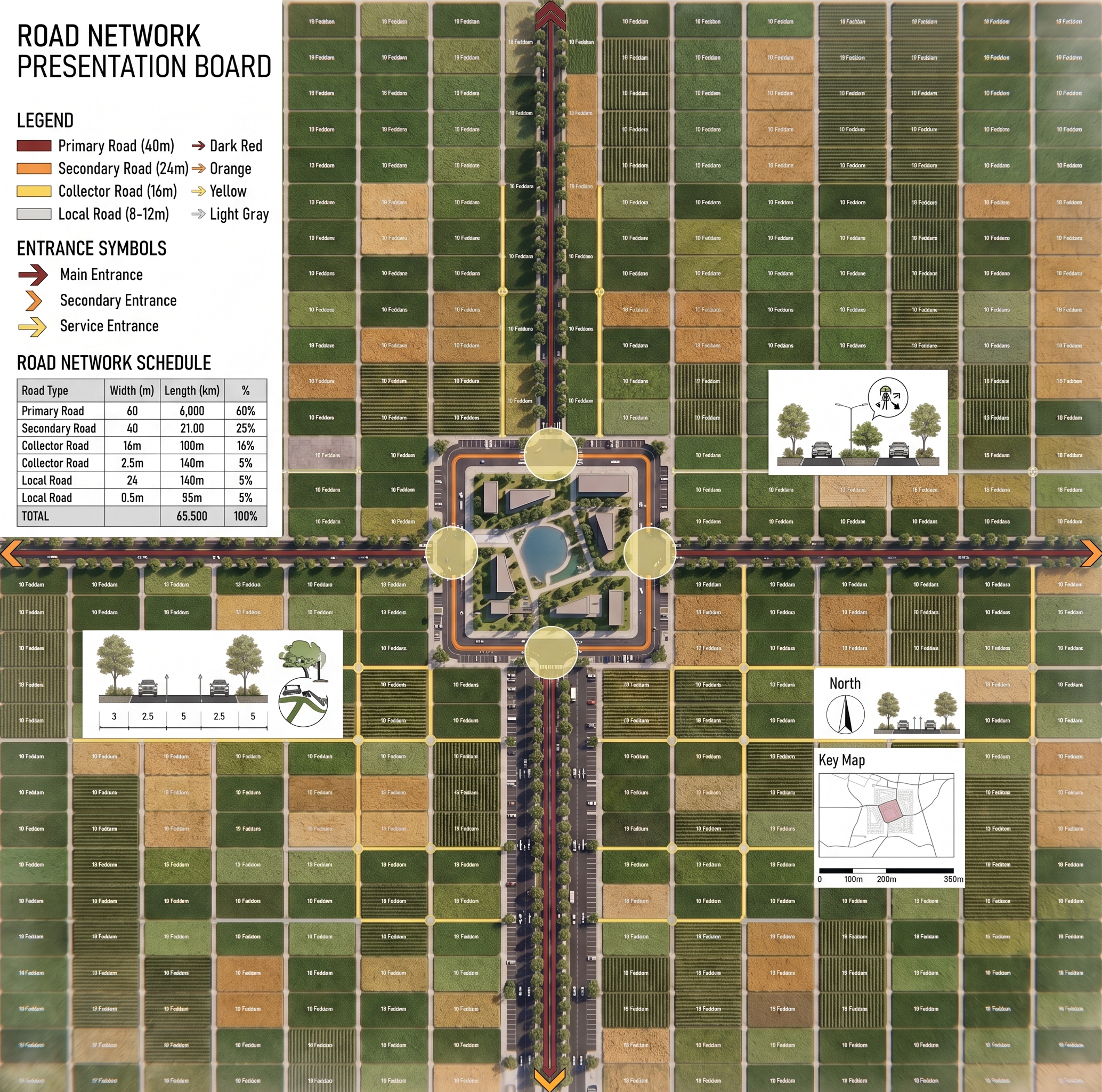
Use the attached reference image ONLY as inspiration for the board layout, legend placement, road hierarchy colors, typography, scale bar, north arrow and graphic composition.

Do NOT copy its master plan.

Do NOT copy its roads.

Do NOT copy its land uses.

Only imitate the presentation style.   Transform the existing rendered master plan into a professional Urban Road Network Presentation Board.

Do NOT regenerate the master plan.

Do NOT redesign anything.

Do NOT modify the road geometry.

Do NOT change any road widths.

Do NOT change parcel boundaries.

Do NOT move any buildings.

Do NOT alter agricultural plots.

Keep the rendered master plan exactly as it is.

ONLY add professional presentation graphics on top of the existing image.

══════════════════════════════

ROAD HIERARCHY

Overlay the road hierarchy using clean architectural colors:

Primary Roads → Dark Red

Secondary Roads → Orange

Collector Roads → Yellow

Local Roads → Light Gray

Keep the road centerlines and geometry exactly unchanged.

Highlight all roundabouts.

══════════════════════════════

PRESENTATION ELEMENTS

Add a professional legend panel on the left side including:

• Primary Road
• Secondary Road
• Collector Road
• Local Road

Use matching color samples.

Add elegant entrance symbols for:

• Main Entrance
• Secondary Entrance
• Service Entrance

Add a North Arrow.

Add a Scale Bar.

Add a Road Network Schedule table.

Add small architectural icons.

Use clean modern typography.

White presentation background.

Balanced architectural layout.

══════════════════════════════

GRAPHIC STYLE

International urban planning competition board.

Minimalist presentation.

Clean graphic hierarchy.

Elegant spacing.

Professional architectural presentation.

Do NOT modify the rendered master plan.

ONLY add presentation graphics and road hierarchy overlays.

Create renders like this

Turn any photo, sketch, or floor plan into a photoreal render in seconds.