- Prompt
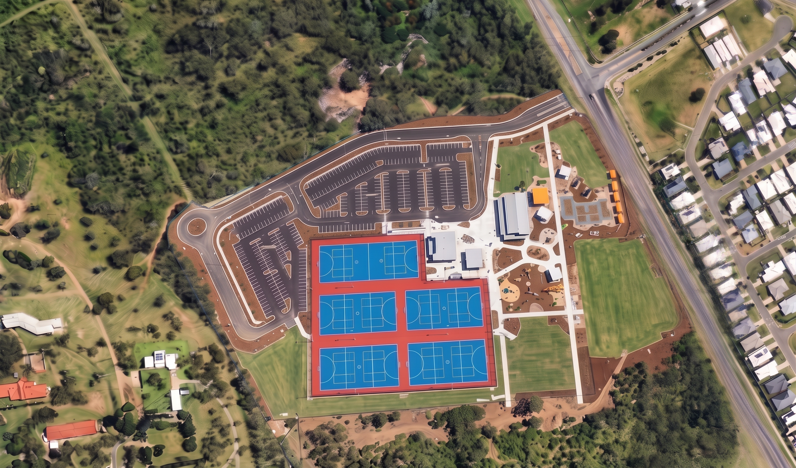
- Transform this image into a true orthographic aerial survey photograph. Maintain the exact site layout, geometry, buildings, roads, parking areas, sports courts, landscaping, vegetation, surrounding properties, and camera position. Do not alter, add, remove, relocate, or reinterpret any features. Render as a professional high-altitude drone survey captured using a full-frame mapping camera. Eliminate all tilt-shift, depth-of-field, miniature model, painterly, artistic, or AI-generated rendering effects. Ensure sharp focus and consistent detail across the entire image from edge to edge. Produce realistic aerial photography quality with accurate vegetation textures, individual tree canopies, realistic grass variation, crisp pavement markings, road textures, roof materials, fencing, pathways, sports surfaces, earthworks, and surrounding residential development. Maintain realistic scale, proportions, and natural Queensland daylight conditions. Image should resemble a contemporary aerial orthomosaic used for engineering, planning, surveying, and government infrastructure projects. No blur, no haze, no selective focus, no soft backgrounds. Every element visible at the same level of clarity and detail. Style Reference: Professional drone orthomosaic, aerial survey photography, GIS imagery, engineering survey mapping, photogrammetry output, civil infrastructure aerial photography, government asset mapping, high-resolution orthographic aerial image. Keywords: orthographic aerial survey photography, drone orthomosaic, photogrammetry, GIS imagery, engineering survey quality, true aerial photography, edge-to-edge sharpness, uniform focus, realistic tree canopies, realistic ground textures, natural colours, 8K resolution, professional mapping imagery. Negative Prompt Architectural rendering, CGI appearance, artistic rendering, tilt-shift effect, miniature effect, depth of field, background blur, foreground blur, soft focus, painterly textures, AI smoothing, dreamlike lighting, exaggerated colours, unrealistic vegetation, stylised shadows, fantasy landscape, concept art, digital painting.
- Created
- July 29, 2026