Skip to content
Render tools
Use the uploaded Najdi mosque image as the exact architectural reference.

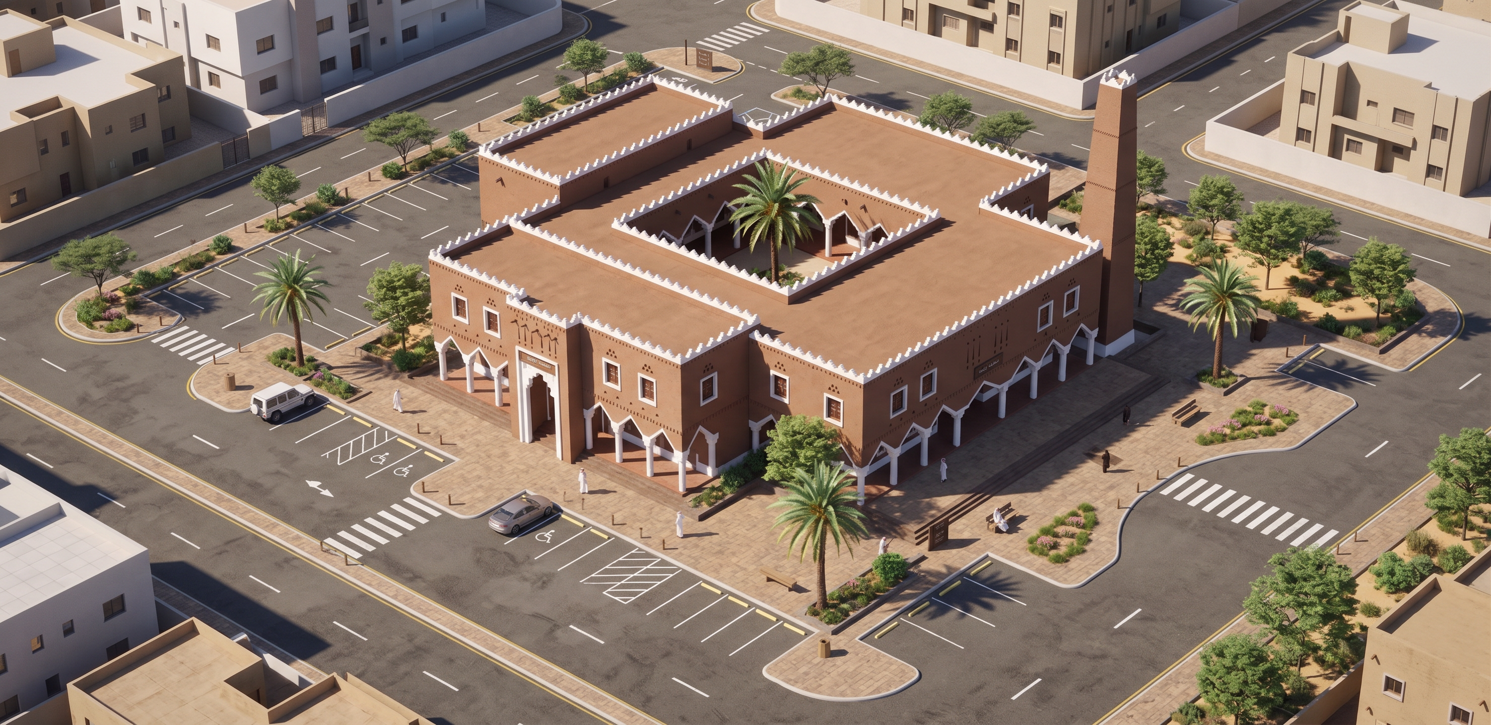
Transform the current street-level perspective into a HIGH-ANGLE 3D ISOMETRIC / AXONOMETRIC BIRD’S-EYE VIEW of the SAME mosque and site.

MAIN GOAL:
Clearly reveal the complete site layout around the mosque, especially the parking arrangement, vehicle circulation, pedestrian access and landscape.

CRITICAL:
Do NOT redesign the mosque.
Preserve the exact building architecture, proportions, Najdi style, courtyard, roof configuration, façade details and minaret.

CAMERA:
- elevated 3D isometric / axonometric view
- approximately 35–45° downward viewing angle
- show the complete mosque footprint
- show the roof and internal courtyard clearly
- keep the main entrance identifiable
- include the entire site boundary around the mosque

SITE & PARKING:
Clearly show a realistic parking layout around the mosque:
- organized parking bays
- realistic parking dimensions and spacing
- accessible parking near the entrance
- clear vehicle entry and exit
- internal vehicle circulation
- drop-off area near the main entrance where appropriate
- curbs and sidewalks
- pedestrian paths connecting parking to mosque entrances
- pedestrian crossings
- landscaped islands
- shade trees and palms
- clear separation between cars and pedestrians

The parking must look FUNCTIONAL and architecturally planned, not randomly placed cars.

Show enough surrounding neighborhood context to understand how the mosque connects to adjacent streets, but keep the mosque site as the main focus.

Maintain realistic Riyadh materials, warm daylight, desert-adapted landscaping and contemporary surrounding buildings.

Do NOT create an exploded view.
Do NOT change the mosque massing.
Do NOT hide the parking behind trees or buildings.
Do NOT crop the site edges.

Final result:
A photorealistic high-angle 3D isometric site visualization of the exact same Najdi mosque, clearly showing the mosque, courtyard, parking layout, vehicle circulation, pedestrian routes, landscaping and relationship to surrounding streets.

Create renders like this

Turn any photo, sketch, or floor plan into a photoreal render in seconds.