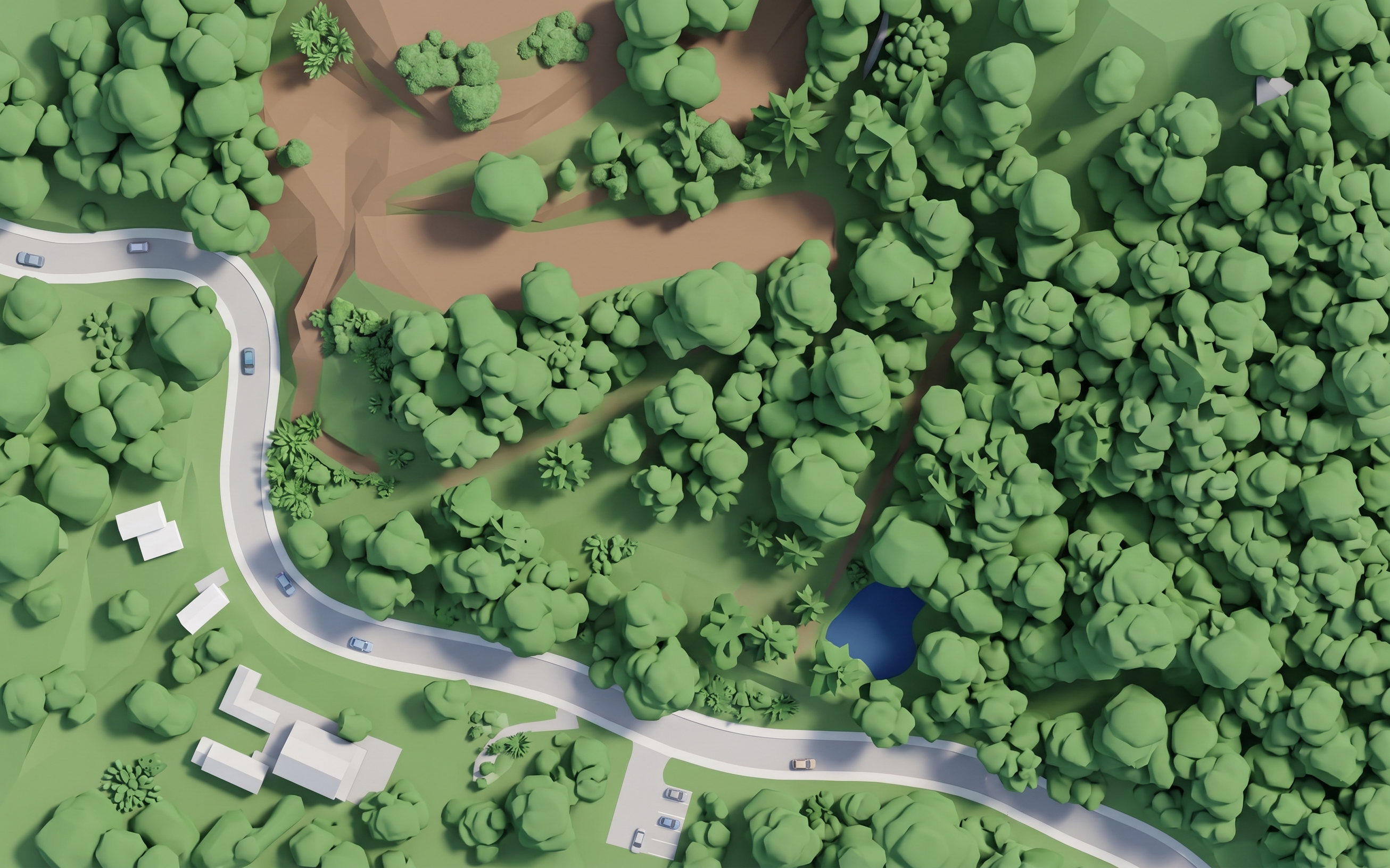
- Prompt
- Transform this aerial photograph into a clean, high-end architectural real-estate masterplan.
Preserve EXACTLY the original composition, geometry, building footprints, roads, parking lots, sidewalks, waterfront and landscape layout. Do not redesign, move, add or remove major elements.
Convert the photograph into a stylized computer-generated architectural visualization viewed from a perfectly vertical top-down orthographic camera.
Use:
* Simplified white and light-gray buildings
* Clean geometric roads and parking areas
* Clearly defined parking spaces
* Simplified 3D trees and vegetation as clean green masses
* Deep blue simplified water
* Soft ambient shadows and subtle building shadows
* Matte surfaces with minimal textures
* Clean edges and slightly illustrative 2D appearance
* Elegant, low-saturation real-estate presentation style
Remove photographic noise, realistic textures, excessive vegetation detail, reflections and imperfections. Cars should look like small simplified 3D models.
The final image should look like a professional interactive real-estate masterplan or architectural site-plan render, NOT a photograph or satellite image.
Maintain the exact perspective, proportions and spatial relationships of the reference image.
Negative prompt: photorealistic, satellite photo, perspective distortion, fisheye, tilted camera, redesigned buildings, altered roads, invented structures, extra buildings, missing buildings, excessive detail, realistic vegetation, people, text, logos, UI, dramatic lighting, sunset.
- Created
- August 27, 2026