- Prompt
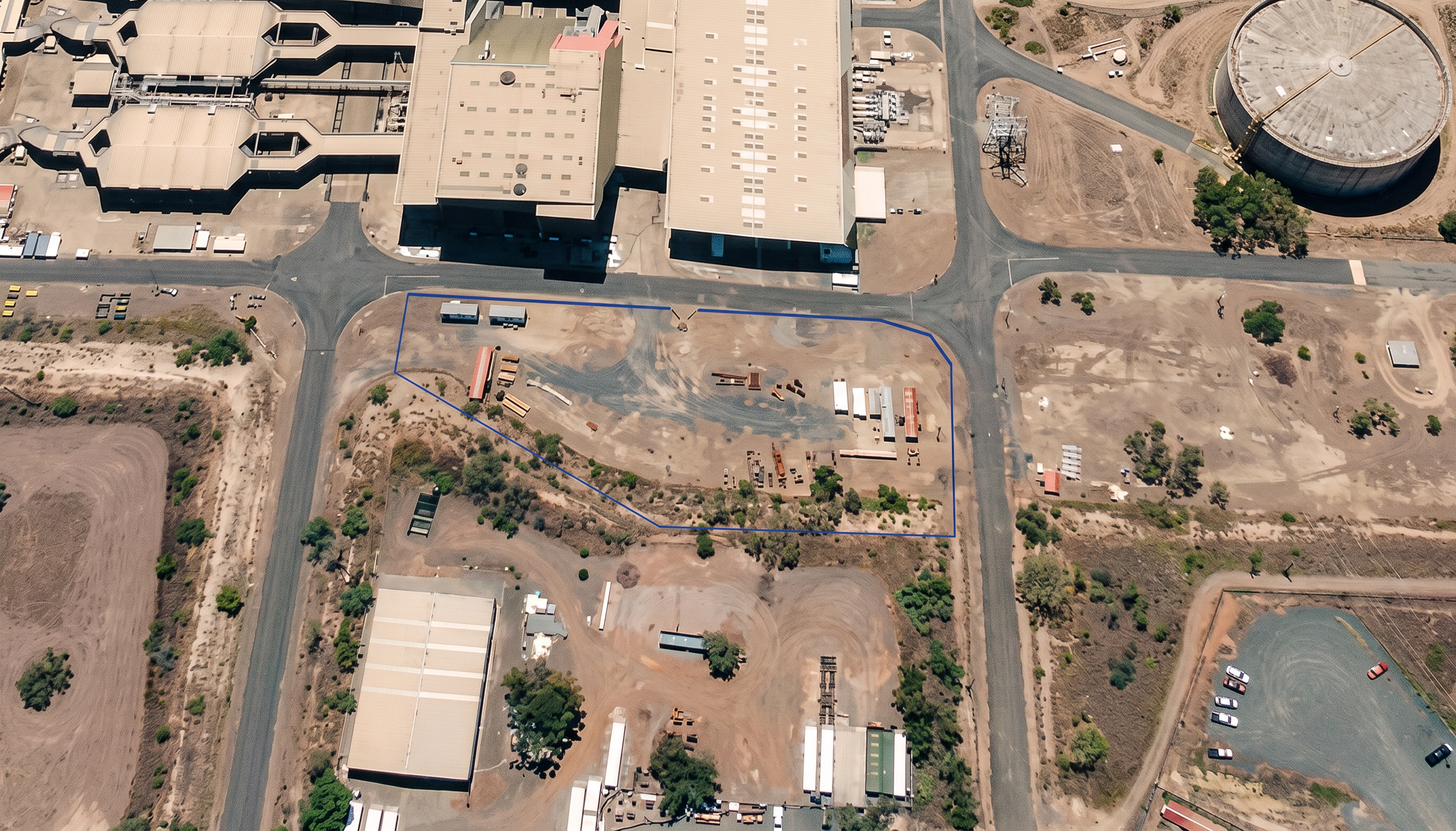
- Use the provided base image as the exact geometry, layout, and reference. Do not change, move, resize, or reinterpret any buildings, roads, terrain, or site boundaries. Render the scene as a high-resolution photorealistic aerial drone image in the same style as a construction site establishment photograph. Camera and perspective: - Maintain the exact same camera position, height, angle, and perspective as the original image - Do not shift, rotate, zoom, or reframe the view Geometry fidelity: - Preserve all building footprints, road alignments, hardstand areas, and site boundaries exactly as shown - Do not introduce, remove, or modify any structures or site elements - Do not convert or reinterpret geometry (no smoothing, no redesign, no new forms) Visual style (match reference site establishment image): - Natural earth tones with realistic dirt, gravel, and compacted hardstand textures - Subtle variation in ground colour to show use and wear (traffic areas, laydown zones) - Realistic asphalt and concrete roads with slight weathering - Dry, semi-arid landscape with sparse vegetation consistent with Central Queensland conditions Detailing: - Add realistic site establishment elements ONLY where already indicated in the base image: - Site sheds / temporary buildings - Material laydown areas - Light construction plant and vehicles - Keep all additions minimal and consistent with what is visible—do not invent new site zones - Maintain correct scale and spacing Lighting: - Bright natural daylight (midday sun) - Soft, short shadows directly beneath objects - Neutral colour balance (no dramatic grading) Rendering quality: - High realism, sharp focus, aerial photography look - No stylisation, no illustration effect, no CGI exaggeration Critical constraints: - Do NOT create new scenery beyond what exists in the image - Do NOT alter the size or position of the site or buildings - Do NOT change the perspective in any way - The output must look like a real drone photograph of the same site
- Created
- June 19, 2026