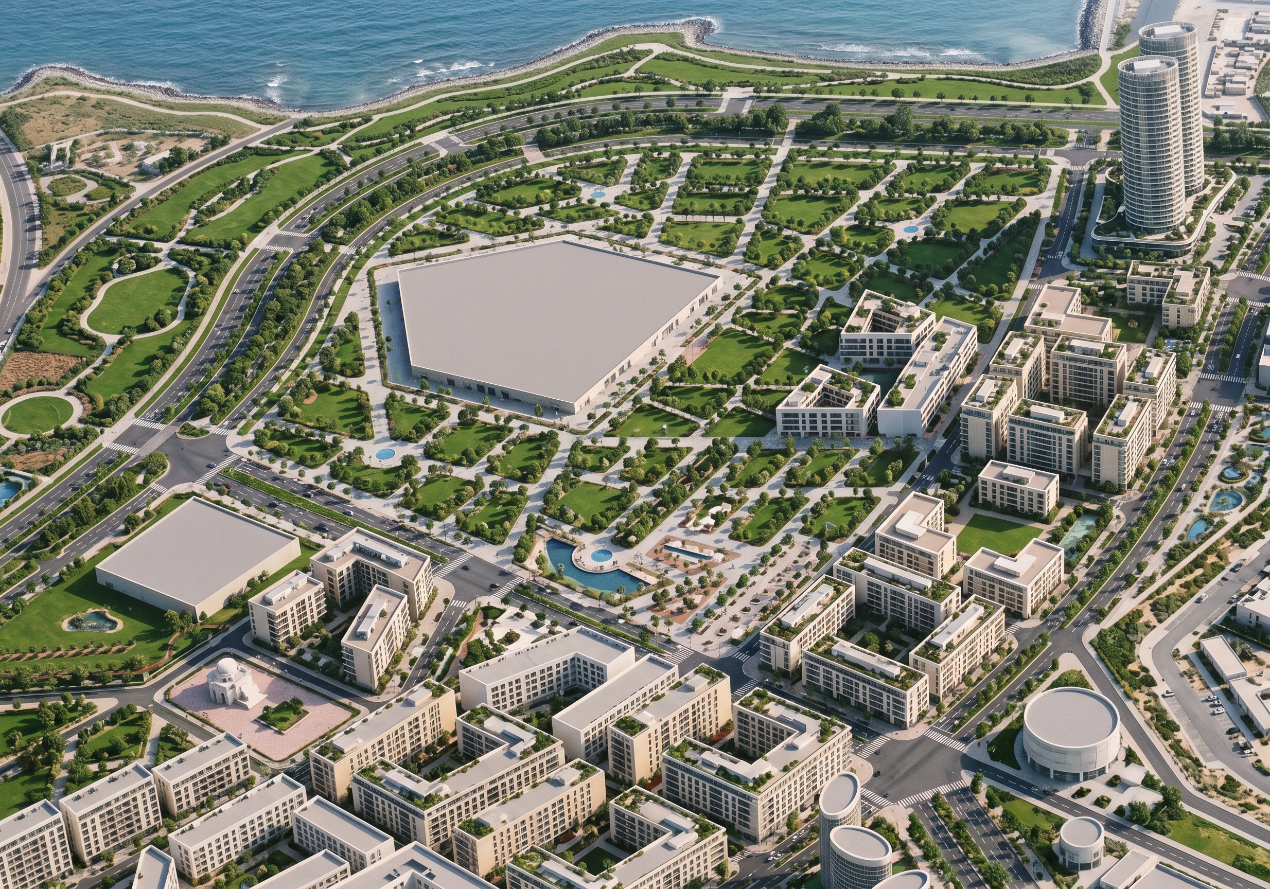
- Prompt
- Render this architectural master plan into a clean, simple, realistic 3D aerial visualization.
**IMPORTANT: Preserve the original master plan exactly. Do not change, redesign, move, remove, or add any buildings, roads, blocks, towers, plot boundaries, or urban layout. Maintain the exact geometry, proportions, arrangement, and camera angle of the uploaded image.**
**Roads and Landscape Interpretation:**
- All areas marked in YELLOW represent streets and roads. Render them as paved roads with realistic asphalt, sidewalks, and road markings.
- All areas marked in RED along the outer boundaries represent green belts, NOT roads. Transform them into landscaped green zones with trees, grass, shrubs, and pedestrian walking paths.
- The red-marked green belts must include clear pedestrian trails winding through the planted areas.
- Preserve all existing parks, gardens, and landscaped spaces.
**Rendering Style:**
- Simple and elegant architectural visualization.
- Natural green landscaping.
- White and light beige building facades.
- Light grey roads and pavements.
- Realistic blue sea.
- Soft natural daylight and subtle shadows.
- Clean textures without excessive details.
- Professional urban master plan presentation.
**STRICT RULES:**
Do not add new buildings.
Do not change building heights or footprints.
Do not modify road networks or street widths.
Do not turn yellow streets into green spaces.
Do not turn red green belts into roads.
Do not alter the coastline or original master plan geometry.
The final result must accurately represent the uploaded architectural master plan.
- Created
- October 31, 2026