- Prompt
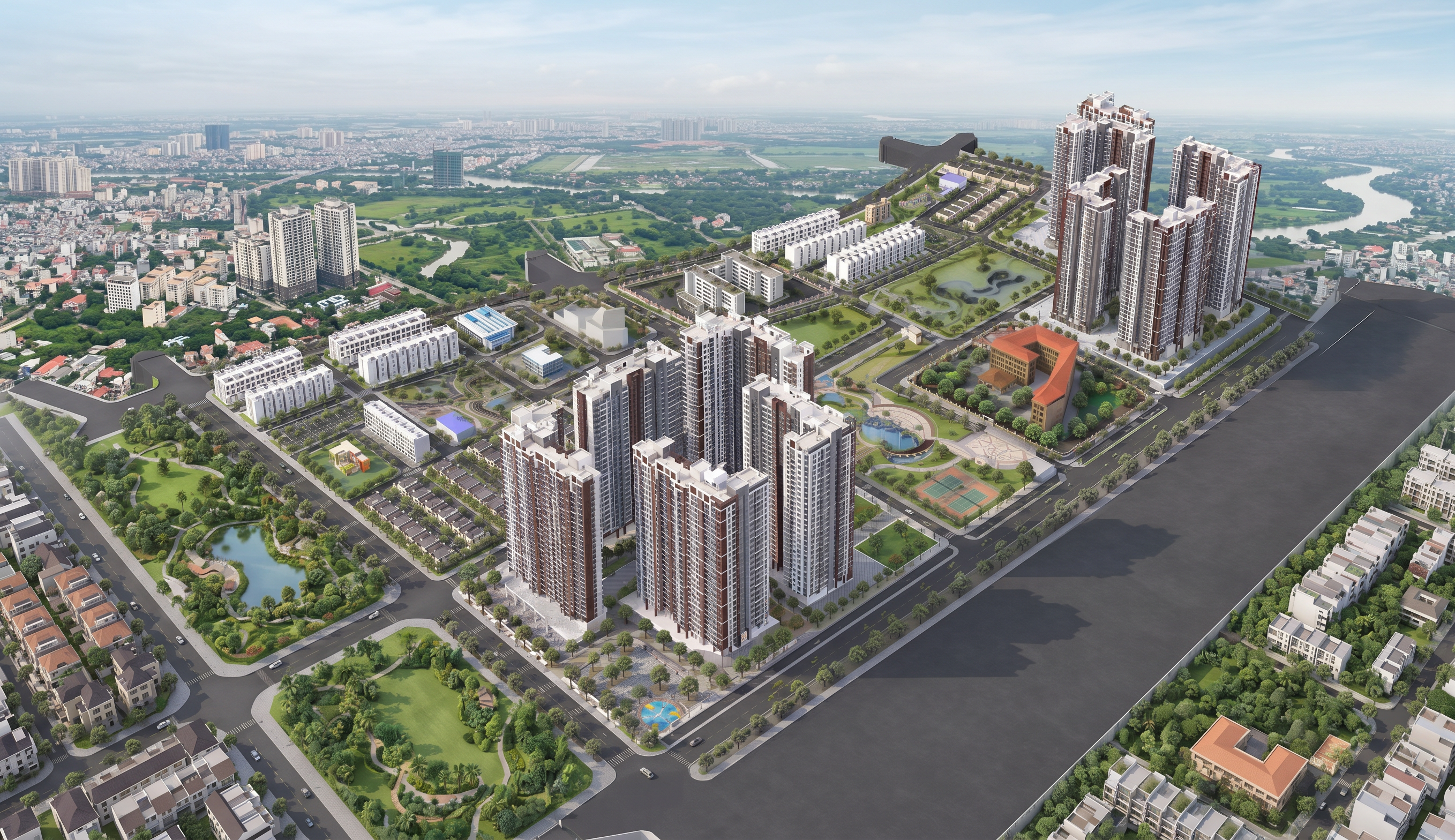
- Transform the provided SketchUp model of an urban residential unit masterplan into a high-quality, photorealistic 3D aerial architectural visualization suitable for a professional urban planning presentation.
STRICT GEOMETRY PRESERVATION: Treat the original SketchUp model as the authoritative source. Preserve all original geometry, site boundaries, parcel shapes, building footprints, positions, orientations, heights, road alignments, road widths, intersections, sidewalks, pedestrian paths, green spaces, and land-use zoning. Do not redesign, relocate, resize, add, remove, or modify any planning elements. Maintain the exact original spatial relationships and functional layout.
LAND USE: Preserve the original distribution of low-rise housing, apartment buildings, parks, public facilities, kindergartens, healthcare facilities, administrative buildings, parking areas, and other functions. Keep the original number and arrangement of buildings. Do not exchange land-use functions or invent new roads and landscape zones.
CAMERA: Create an elevated bird's-eye 3D perspective at approximately 35–50 degrees downward inclination. Show the entire site, all major access roads, and the complete planning layout. Avoid cropping, extreme perspective distortion, or angles that obscure the road network.
RENDERING STYLE: Use professional architectural visualization with realistic contemporary Vietnamese residential architecture, detailed facades, natural vegetation, realistic asphalt roads, sidewalks, paving, and landscape materials. Add trees and street furniture only in appropriate existing open spaces without obscuring buildings, roads, or planning boundaries.
LIGHTING AND COLORS: Apply soft natural daylight, global illumination, ambient occlusion, realistic shadows, and balanced exposure. Use natural green landscapes, neutral gray roads, and harmonious building colors. Maintain clear visual differentiation between residential areas, public facilities, transportation infrastructure, and green spaces.
OUTPUT QUALITY: Ultra-high resolution, sharp details, realistic materials, consistent scale, clean composition, professional architectural rendering suitable for a graduation project presentation board.
NEGATIVE CONSTRAINTS: No redesign, no altered boundaries, no modified road network, no missing or additional buildings, no changed building heights, no incorrect land-use zoning, no distorted proportions, no excessive trees, no hidden roads, no cropped site, no blur, no oversaturation, no text, labels, legends, or watermarks.
Final priority: Maximum fidelity to the original SketchUp geometry and urban planning layout. Improve visual quality only; never change the design.
- Created
- October 22, 2026