- Prompt
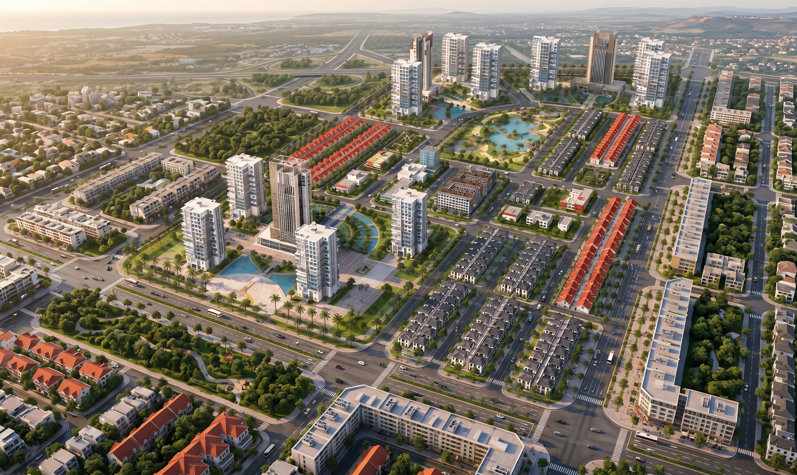
- Render the input SketchUp model into a high-quality 3D aerial perspective of a residential neighborhood masterplan for an urban planning project.
**STRICT GEOMETRY PRESERVATION — TOP PRIORITY:**
Preserve the original SketchUp model exactly. Maintain all site boundaries, plot divisions, road networks, road widths, intersections, building footprints, building positions, orientations, heights, land-use functions, green spaces, and overall layout. Do not add, remove, move, resize, rotate, redesign, or distort any existing elements. The original model is the definitive design reference.
**CAMERA AND COMPOSITION:**
Use an elevated bird's-eye oblique perspective at approximately 35–45 degrees. Show the entire planning area clearly, with minimal perspective distortion, balanced framing, and the original site proportions intact.
**RENDERING STYLE:**
Professional architectural and urban planning visualization, semi-realistic 3D rendering, refined materials, clean building facades, detailed rooftops, natural greenery, realistic roads and sidewalks, soft directional daylight, subtle shadows, ambient occlusion, and balanced global illumination.
Enhance landscaping with trees, shrubs, lawns, and pedestrian paths only within existing designated green and public spaces. Keep roads, buildings, plot boundaries, and functional zones clearly visible. Use harmonious neutral colors, natural greens, and restrained architectural materials. Avoid excessive photorealism, decorative clutter, and oversaturated colors.
**OUTPUT QUALITY:**
High resolution, sharp geometry, clear building masses, legible road hierarchy, distinct land-use zones, realistic lighting, soft shadows, polished presentation suitable for an academic urban planning project.
**NON-NEGOTIABLE REQUIREMENT:**
Improve only rendering quality, materials, lighting, and permitted landscape details. Never modify the original geometry, road network, site boundaries, building placement, land-use zoning, or masterplan composition.
- Created
- October 23, 2026