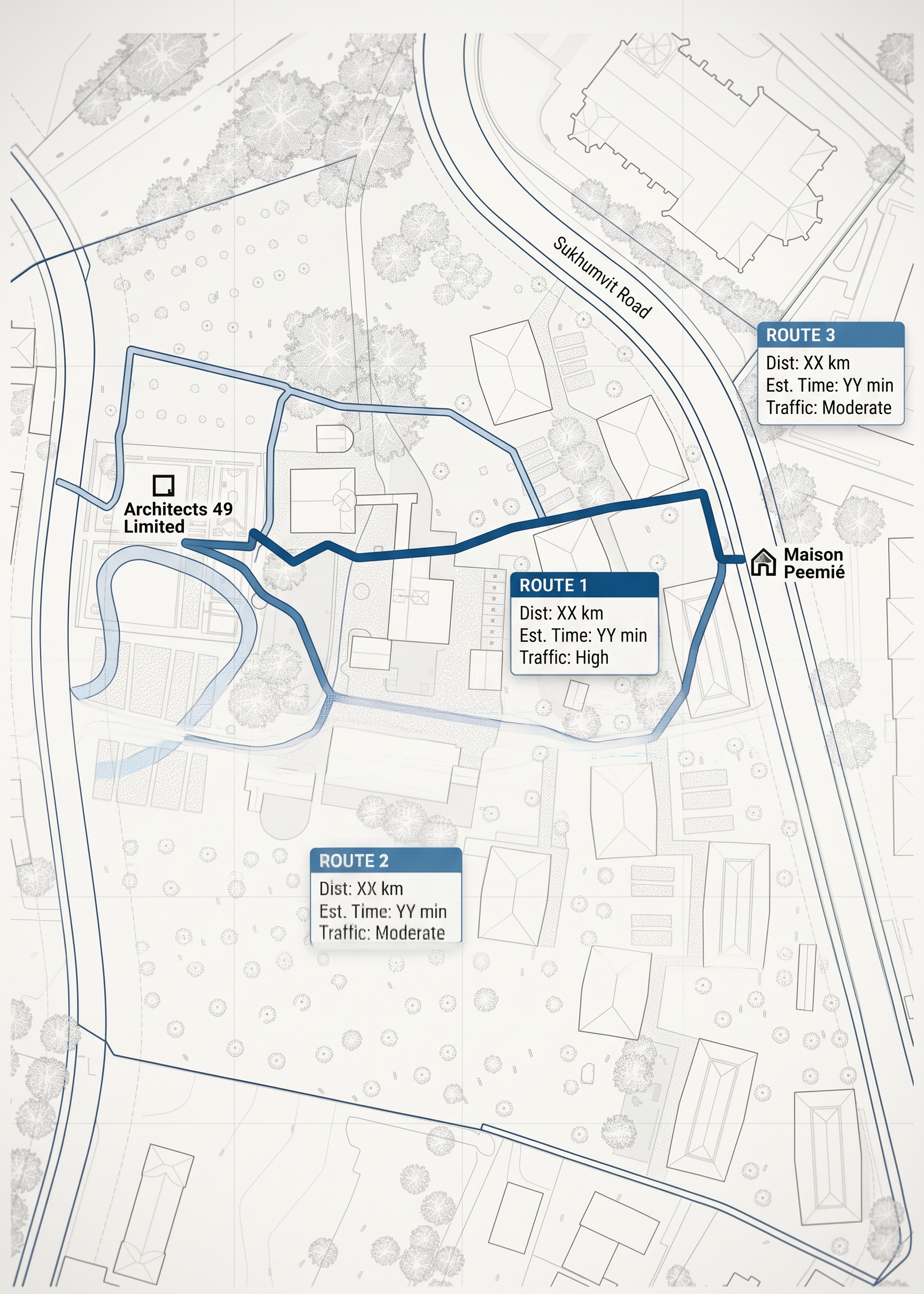
- Prompt
- Edit the existing Google Maps graphic according to the following instructions:
1. Redesign the existing Google Maps graphic into a clean, modern, minimal map style based on Reference Image 1. Simplify the map graphics, colors, labels, roads, and visual elements while maintaining clear geographic orientation and readability.
2. Clearly display ALL THREE available travel routes from **Architects 49 Limited** to **Maison Peemié**. Show all three routes simultaneously on the same map, with each route clearly distinguishable.
3. Display the three routes using different line weights based on their travel distance:
* **Shortest route:** thickest line weight
* **Medium-distance route:** medium line weight
* **Longest route:** thinnest line weight
The line-weight hierarchy must clearly communicate the distance ranking from **closest to farthest**, without changing the actual geographic route.
4. Display the **travel distance and estimated travel time** for each of the three routes based on the traffic and road conditions at **9:00 AM on October 14, 2026**. Clearly identify each route and present its distance and travel time in a clean, minimal information panel or labels.
5. Remove ALL irrelevant place information from the map. Completely remove unnecessary place names, business names, landmarks, points of interest, location labels, icons, and other details that are not directly related to the specified routes. Keep ONLY the starting point, destination, essential roads, the three route lines, route information, travel distance, and estimated travel time.
6. Match the overall visual language of Reference Image 1, including its minimal graphic style, color palette, typography, line weight, icons, and overall composition.
7. Keep the map geographically accurate and preserve the relative positions of the roads and locations. Do NOT distort, simplify, or alter the actual geographic paths of the three routes.
8. The final result should look clean, premium, modern, minimal, and professional, suitable for use in an architectural presentation.
Prioritize geographic accuracy, clear differentiation between the three routes, route-distance hierarchy, readability, and consistency with Reference Image 1. Do not add unnecessary decorative elements or irrelevant location information.
- Created
- September 24, 2026